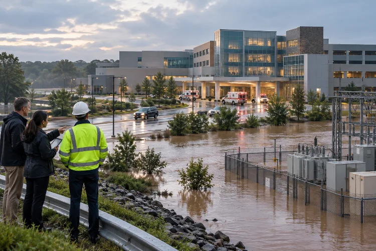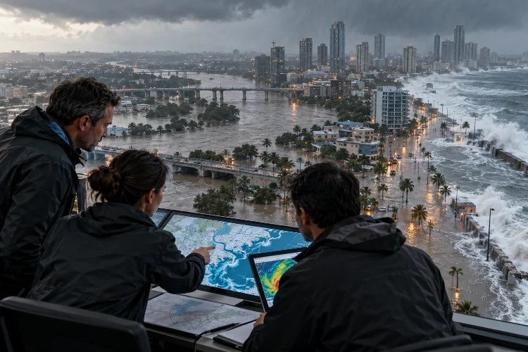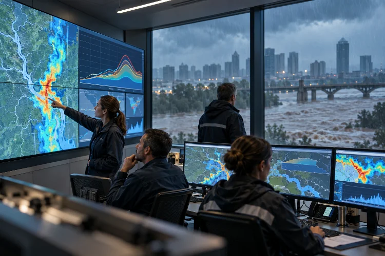
Imagine waking up to heavy rainfall and discovering that a nearby river is rising much faster than expected. Emergency teams are monitoring water levels, residents are checking weather updates, and everyone wants to know one thing: how much time is left before flooding begins?
Unfortunately, predicting floods isn’t as simple as looking at rainfall forecasts.
River behavior depends on soil moisture, watershed characteristics, upstream conditions, drainage capacity, and many other factors that can change rapidly during extreme weather.
Traditional hydrological models provide valuable predictions, but they sometimes struggle to capture sudden changes or accurately represent complex watershed behavior.
That’s where real-time flood forecasting through hybrid hydrological models comes into play.
By combining physics-based simulations, machine learning, live monitoring data, and advanced forecasting techniques, hybrid systems can help engineers predict flood conditions more effectively.
These technologies don’t eliminate uncertainty, but they offer new opportunities to detect developing hazards earlier and improve emergency preparedness.
In this guide, we’ll explore how hybrid forecasting works, the technologies behind it, and how these systems can support smarter flood management.
1. Understanding Hybrid Hydrological Models for Flood Prediction
Flood forecasting has come a long way from relying exclusively on rainfall measurements and river gauges.
Today, hydrologists can combine mathematical models, satellite observations, artificial intelligence, and automated monitoring systems to better understand how water moves through a watershed.
But what exactly makes a hydrological model hybrid?
Combining Physical Models With Data-Driven Intelligence
A hybrid hydrological model typically integrates two or more modeling approaches.
One common method combines physically based hydrological simulations with machine learning algorithms.
The physical component represents processes such as rainfall infiltration, surface runoff, soil-water storage, and river routing.
Meanwhile, the machine learning component identifies patterns in historical and recent observations that may improve predictions.
For example, a conventional rainfall-runoff model might estimate river discharge from precipitation and watershed characteristics.
A neural network could then analyze historical prediction errors and learn how to adjust future forecasts under similar conditions.
Instead of relying on one modeling approach, the system benefits from complementary capabilities.
Why Traditional Models Sometimes Struggle
Traditional hydrological models remain essential because they represent the underlying processes that control water movement.
However, they often require parameter calibration and reliable input data.
Changes in land cover, urban development, groundwater conditions, or rainfall patterns can affect model performance.
Data-driven models offer flexibility, but they also have limitations.
An AI model trained on ordinary rainfall events may struggle with an unprecedented storm.
Hybrid modeling attempts to address these weaknesses by combining physical knowledge with statistical learning.
Research published in the Journal of Hydrology in 2024 demonstrated a hybrid high-flow prediction framework using a physically based runoff component and an LSTM model for rainfall-loss estimation.
The study examined 28 high-flow events and highlighted the potential benefits of integrating near-real-time watershed conditions into forecasting.
2. The Role of Real-Time Data in Modern Flood Forecasting
Even the most sophisticated forecasting model can become unreliable when its input information is outdated.
Flood conditions can change within minutes, particularly in steep catchments and heavily urbanized areas.
That’s why continuous monitoring plays such an important role.
Collecting Information From Multiple Sources
Modern flood prediction platforms may combine rainfall gauges, river-level sensors, weather radar, satellite observations, and soil-moisture measurements.
Each source contributes different information.
Rain gauges measure precipitation at specific locations, while radar helps estimate rainfall distribution over larger areas.
River gauges provide direct observations of water level or discharge, depending on the station and measurement system.
Satellite data can help estimate soil moisture, precipitation, and broader environmental conditions, although coverage and accuracy vary.
Together, these observations help establish a more complete picture of current watershed conditions.
Why Data Assimilation Matters
Data assimilation is the process of using observations to update or improve a model’s estimate of the current physical state.
Suppose a rainfall-runoff model predicts a river discharge of 240 cubic meters per second.
A reliable gauge observation indicates that the actual discharge is closer to 270 cubic meters per second.
Instead of continuing with an inaccurate estimate, an assimilation method can use the measurement to update relevant model states or calculations.
The correction must be consistent with the model and the uncertainty of the observation.
This process can improve short-term forecasts, particularly when recent measurements reveal conditions that the original simulation did not fully capture.
NOAA’s National Water Model uses streamflow observations in several of its analysis and assimilation configurations.
These analyses help establish initial conditions for subsequent forecast simulations.
Handling Data Quality and Communication Delays
Real-time data isn’t always reliable.
Sensors can malfunction, communication networks may become unavailable, and measurement errors can appear during severe weather.
An automated system should identify missing observations, unrealistic changes, and possible instrument failures.
It should also distinguish between the time a measurement was recorded and the time it arrived.
This is especially important for remote watersheds where communication delays can be significant.
Reliable forecasting depends on validated information, not simply collecting the largest possible dataset.
3. How Machine Learning Improves Flood Forecasting Accuracy
Artificial intelligence has become one of the most interesting developments in hydrological forecasting.
Machine learning algorithms can identify complicated relationships that are difficult to represent using traditional equations alone.
However, different algorithms offer different strengths.
Using LSTM Networks for Time-Series Prediction
Long Short-Term Memory (LSTM) networks are designed to analyze sequential information.
This makes them useful for studying rainfall and river discharge patterns over time.
For example, an LSTM model can learn how a particular watershed responds to rainfall occurring over several consecutive hours.
It may identify delayed runoff responses, seasonal patterns, or relationships between soil conditions and flood peaks.
When combined with a physics-based simulation, LSTM predictions can supplement hydrological process calculations.
However, model training requires careful validation.
A neural network that performs well on familiar historical events may behave poorly when confronted with unusual conditions.
Hybrid Models for Rainfall-Runoff Simulation
One practical approach involves using a physical model to estimate runoff generation and river routing, then applying machine learning to improve selected components.
Another approach uses a neural network to predict model residuals, meaning the difference between simulated and observed values.
These corrections can reduce systematic errors when the training data adequately represents the conditions being forecast.
A 2026 study published in Journal of Hydrology: Regional Studies investigated a hybrid framework combining the Distributed Hydrology Soil Vegetation Model with the Informer deep learning model.
The researchers used hydrological variables such as streamflow, soil moisture, and soil saturation to improve forecasting in a mountainous watershed.
Their results showed improvements over the physical-model benchmark, particularly in estimating flood peaks and volumes.
Still, results from one watershed shouldn’t automatically be assumed to apply everywhere.
Predicting Floods in Data-Scarce Regions
One major challenge in flood forecasting is the limited availability of historical river measurements.
Many vulnerable watersheds lack long-term monitoring records.
Machine learning may help address this challenge by learning relationships across multiple catchments.
A 2024 study published in Nature found that AI-based forecasting could provide useful predictions of extreme river flooding in ungauged watersheds.
In the study’s evaluation, predictions at lead times of up to five days achieved reliability comparable to or better than same-day predictions from a leading global hydrological modeling system.
This demonstrates the potential of data-driven methods, although performance depends on the location, event characteristics, and evaluation criteria.
4. Improving Forecast Reliability Through Ensemble Modeling
Wouldn’t it be great if a forecasting system could tell us exactly how much rain will fall next Tuesday?
Unfortunately, atmospheric conditions are too complicated for perfect predictions.
Even small uncertainties in rainfall location, intensity, and timing can produce substantial differences in river discharge.
Ensemble forecasting helps address this problem.
What Is an Ensemble Forecast?
Instead of running a model only once, ensemble forecasting produces multiple simulations using different plausible inputs or assumptions.
For example, meteorological ensemble members may represent alternative future rainfall patterns.
Each rainfall forecast is passed through a hydrological model to generate possible river responses.
The resulting collection of discharge predictions reveals how outcomes vary across the simulated scenarios.
Suppose 40 ensemble members are evaluated, and 28 predict that river discharge will exceed a defined warning threshold.
That means 70% of the ensemble members predict an exceedance.
It doesn’t automatically establish a calibrated 70% probability of flooding, because model biases and ensemble reliability must also be considered.
Learning From Operational European Systems
The European Flood Awareness System (EFAS), supported by ECMWF and the European Commission, provides an established example of ensemble-based flood forecasting.
EFAS combines meteorological forecasts with hydrological simulations to provide information about potential flooding across Europe.
Its underlying LISFLOOD model represents processes including infiltration, runoff generation, groundwater storage, and river routing.
An ECMWF article describing the EFAS 4.0 upgrade explains how sub-daily hydrological calibration and simulation improved the representation of flood timing.
This illustrates an important lesson: forecast quality depends on both reliable meteorological inputs and appropriate hydrological modeling.
Communicating Forecast Uncertainty
Forecast uncertainty should be presented in a way decision-makers can understand.
A single predicted river level may look precise but hide a wide range of possible outcomes.
Displaying forecast ranges, alternative scenarios, and threshold-exceedance information can provide a more realistic picture.
For emergency planning, the most useful question may not be whether flooding will occur at an exact time.
Instead, decision-makers may need to know how likely hazardous conditions are, how severe they could become, and when protective actions should begin.
5. Building an Effective Real-Time Flood Forecasting Workflow
Developing a hybrid forecasting system involves more than selecting an AI algorithm.
A successful project requires data preparation, model integration, operational infrastructure, and ongoing performance evaluation.
Let’s explore a practical workflow.
Step 1: Establish Watershed Characteristics
The process begins with understanding the study area.
Engineers collect information about watershed boundaries, river networks, topography, soils, land cover, and existing hydraulic structures.
Historical rainfall and discharge records are reviewed to identify typical hydrological responses.
Special attention is given to extreme events, because flood peaks and timing are often more important for warnings than average daily conditions.
Step 2: Develop the Physical Hydrological Model
Next, the team selects an appropriate rainfall-runoff model.
Options may include conceptual, semi-distributed, or distributed hydrological approaches.
The selected model should match the watershed’s physical characteristics and the available data.
For example, a mountainous catchment may require careful representation of terrain-driven runoff and rapid river response.
The initial model is calibrated using historical observations and tested against independent events.
Poor physical-model performance should be investigated before applying machine learning to correct it.
Step 3: Integrate Machine Learning
Once the physical model is established, engineers identify which components could benefit from data-driven improvements.
These might include rainfall-loss estimation, soil-moisture relationships, river-discharge corrections, or short-term flow predictions.
Training data must be separated from validation and testing periods.
Otherwise, the algorithm may appear highly accurate simply because it has already seen information from the evaluation events.
This problem, known as data leakage, can create seriously misleading performance estimates.
Good calbration and model evaluation are therefore essential.
Step 4: Connect Live Data and Automated Forecasting
The next stage integrates current observations and meteorological forecasts.
A data-processing system collects measurements, performs quality checks, updates model states, and prepares forecasting inputs.
The hybrid model then generates predictions at predetermined intervals.
Depending on the watershed and available infrastructure, forecasts might be updated hourly or more frequently.
The system should preserve previous forecasts so engineers can evaluate how predictions changed as new information became available.
Operational automation also requires backup data sources and procedures for communication failures.
Step 5: Test a Hypothetical Flood Scenario
Imagine a 350-square-kilometer watershed experiencing intense rainfall after several days of wet weather.
The physical model predicts river discharge increasing toward a critical threshold.
Meanwhile, the machine learning component identifies that saturated soil conditions could contribute to a faster runoff response than the baseline model suggests.
Updated river-gauge measurements confirm that discharge is rising.
The forecasting system produces revised hydrographs and estimates when the warning threshold may be crossed.
Emergency managers can use these predictions to consider inspections, road closures, and other preparedness measures.
This scenario is illustrative, but it demonstrates how multiple modeling components can support a shared forecasting objective.
6. Evaluating Forecast Accuracy and Turning Predictions Into Warnings
Creating a forecast is only half the job.
The real challenge is determining whether the system provides information that is accurate, timely, and useful enough for operational decisions.
Measuring Forecast Performance
Hydrologists use several indicators to evaluate forecasting accuracy.
Common measures include root mean square error, mean absolute error, Nash–Sutcliffe efficiency, and Kling–Gupta efficiency.
Each metric highlights different aspects of model performance.
For flood forecasting, engineers should also examine peak discharge errors, flood arrival times, and missed threshold exceedances.
Consider a model that predicts the correct maximum discharge but estimates the flood peak six hours too late.
Its overall statistical score might appear acceptable, yet that timing error could seriously reduce its operational usefulness.
Evaluation should therefore reflect actual warning requirements.
Avoiding False Alarms and Missed Events
Every warning system faces a trade-off between detecting hazardous conditions and avoiding unnecessary alerts.
Excessive false alarms can undermine public confidence.
Missed events can leave communities with inadequate preparation time.
Forecast thresholds should consider local flood impacts, model uncertainty, and the consequences of delayed action.
Probabilistic forecasting can help communicate uncertainty, but warning decisions must follow appropriate operational protocols.
Forecasting agencies should regularly review system performance and adjust procedures when evidence supports improvement.
Connecting Forecasts With Community Preparedness
The World Meteorological Organization emphasizes that effective early warning systems require more than hazard prediction.
They also depend on risk knowledge, warning dissemination, and preparedness capabilities.
A technically accurate forecast may have limited value if the information never reaches affected communities.
Warnings should explain the expected hazard, affected locations, possible timing, and recommended protective actions.
Authorities also need established communication responsibilities and emergency response procedures.
A useful flood forecast isn’t simply an accurate number. It’s information that helps people make safer decisions before dangerous conditions develop.
7. Challenges and Future Opportunities for Hybrid Flood Forecasting
Hybrid forecasting offers considerable potential, but practical implementation still comes with challenges.
One of the biggest issues is maintaining dependable performance across different environmental conditions.
Managing Data Limitations and Model Transferability
Hydrological behavior differs between watersheds.
A model developed for a humid tropical basin may not perform equally well in a snow-dominated mountain catchment.
Changes in land use, reservoir operations, and climate conditions can also affect forecasting relationships.
This makes ongoing validation important.
Machine learning models may require retraining as new observations become available, while physical model parameters may need reassessment.
Forecast components should be evaluated seperately as well as within the complete hybrid system.
Balancing Computational Cost and Speed
Real-time operations require forecasts to finish before they become outdated.
Highly detailed distributed models and large ensembles can demand substantial computing resources.
Cloud infrastructure, parallel processing, and efficient numerical methods can help reduce computational time.
Machine learning surrogate models may also approximate expensive calculations in selected applications.
However, speed improvements should never be assumed to preserve accuracy automatically.
Every simplified component requires testing against the intended operational conditions.
Toward Smarter Early Warning Platforms
Future forecasting platforms are likely to integrate more satellite information, automated data assimilation, ensemble predictions, and AI-based analysis.
NOAA’s National Water Prediction Service already provides access to official river forecasts, observations, and National Water Model outputs.
These kinds of integrated information services can support better monitoring and decision-making.
The challenge is ensuring that forecasting technologies remain interpretable, secure, and reliable during extreme events.
An advanced system should also allow qualified forecasters to review unusual predictions and investigate conflicting observations.
Ultimately, the goal isn’t to replace people with algorithms.
It’s to help experts recieve better information, understand uncertainty, and communicate potential dangers more effectively.
Real-time flood forecasting through hybrid hydrological models is changing how engineers and emergency managers anticipate rising rivers and dangerous runoff conditions.
By combining physically based simulations, machine learning, live observations, and ensemble predictions, these systems can provide a more comprehensive understanding of developing flood hazards.
However, successful forecasting still depends on reliable measurements, proper model validation, uncertainty assessment, and clear warning procedures.
The most effective solutions combine technological innovation with established hydrological expertise and practical emergency planning.
Ready to improve your flood forecasting capabilities? Start by reviewing your current monitoring network, evaluating your hydrological model’s performance, and identifying where hybrid methods could provide meaningful improvements.
With the right approach, smarter flood predictions can support earlier decisions, stronger community preparedness, and more resilient infrastructure.