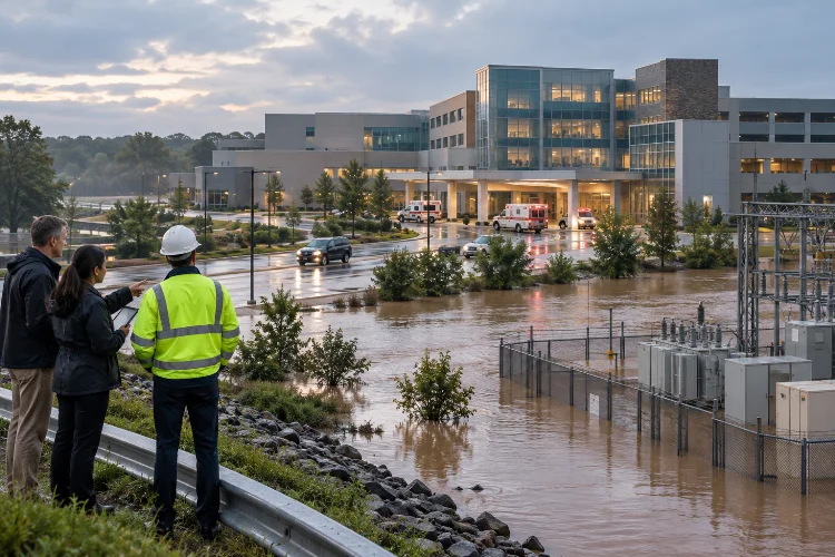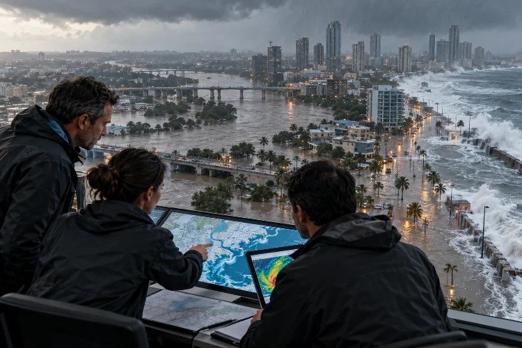
Imagine designing a flood protection system that works perfectly today but becomes dangerously inadequate twenty years from now. The drainage channels are properly sized, the flood barriers meet current standards, and the engineering calculations look solid.
So, what went wrong?
The answer might be hiding in the assumptions behind the design. Traditional flood models often rely heavily on historical rainfall, river discharge, and weather patterns. But as the climate changes, past observations may no longer provide a complete picture of future flooding conditions.
That’s why integrating climate projections into long-term flood risk models is becoming increasingly important.
By combining climate science with hydrological modeling, hydraulic simulations, and geographic data, engineers can explore how future environmental conditions might influence flood frequency, severity, and spatial extent.
Instead of preparing infrastructure for yesterday’s weather, decision-makers can investigate multiple possible futures and develop more adaptable solutions.
Of course, climate projections come with uncertainties. They don’t predict exactly when the next major flood will happen.
However, when used correctly, they provide valuable information for long-term infrastructure planning, urban development, disaster preparedness, and community resilience.
Let’s explore how this integration works and what makes climate-informed flood modeling so valuable.
1. Why Traditional Flood Risk Models Need a Climate Upgrade
Flood risk modeling has traditionally relied on historical hydrological observations.
Engineers collect rainfall records, river discharge measurements, flood elevations, and other environmental data to estimate the probability of future flooding.
This approach works reasonably well when the statistical characteristics of extreme events remain relatively stable.
Unfortunately, climate change complicates that assumption.
Understanding the Problem With Historical Data
Many conventional flood frequency methods rely on the principle of stationarity.
In simple terms, stationarity assumes that the statistical behavior of a particular hydrological process remains relatively consistent over time.
For example, a flood with a 1% annual exceedance probability is often described as a 100-year flood.
That doesn’t mean it occurs exactly once every century. It means there’s a 1% chance of exceeding that flood magnitude in any particular year under the assumed conditions.
When rainfall intensity, temperature, land cover, and watershed characteristics change, those probabilities may also change.
A flood previously classified as relatively rare could become more frequent in some locations, although the direction and magnitude of change vary between watersheds.
What Climate Science Tells Us About Extreme Rainfall
The Intergovernmental Panel on Climate Change (IPCC) reports that heavy precipitation generally becomes more intense and frequent as global temperatures increase.
According to its Sixth Assessment Report, the atmosphere’s moisture-holding capacity increases by approximately 7% per degree Celsius of warming.
This helps explain why warmer conditions can support heavier rainfall.
However, a 7% increase in atmospheric moisture capacity doesn’t automatically translate into a 7% increase in local rainfall or river discharge.
Regional circulation, storm behavior, terrain, and watershed conditions also matter.
That’s precisely why future flood analysis requires climate projections combined with physically meaningful hydrological calculations.
2. Understanding Climate Projections and Future Emission Scenarios
Climate projections aren’t weather forecasts extending decades into the future.
Instead, they describe plausible long-term climate conditions based on assumptions about greenhouse gas emissions, socioeconomic development, and interactions within the Earth’s climate system.
These scenarios help engineers examine a range of possible environmental changes.
Global and Regional Climate Models
Global Climate Models (GCMs) simulate major components of the climate system, including atmospheric circulation, oceans, land surfaces, and energy exchanges.
They are valuable for understanding large-scale temperature and precipitation patterns.
However, their spatial resolution may be too coarse for detailed flood engineering applications.
A regional watershed might contain steep mountains, narrow valleys, urban drainage networks, and complicated local rainfall patterns that aren’t fully represented in a global model.
Regional Climate Models (RCMs) and statistical downscaling methods can provide more geographically detailed information.
NASA’s NEX-GDDP-CMIP6 dataset is one example of a downscaled climate projection resource designed to support regional climate impact research.
It provides daily climate projections derived from multiple global models and future emissions scenarios.
What Are Shared Socioeconomic Pathways?
Modern climate assessments frequently use Shared Socioeconomic Pathways, commonly abbreviated as SSPs.
These scenarios describe possible socioeconomic and emissions futures used to explore different climate outcomes.
For example, SSP1-2.6 represents a relatively low-emissions pathway, while SSP5-8.5 represents a very high-emissions pathway.
The numbers following the SSP labels indicate approximate radiative forcing levels in watts per square meter by 2100.
For flood analysis, these scenarios help examine how different warming trajectories could influence precipitation, snowmelt, and other hydrological processes.
Engineers shouldn’t automatically treat the highest-emissions scenario as the most likely future.
Instead, scenario selection should match the project lifetime, risk tolerance, applicable guidance, and purpose of the assessment.
Why Multiple Climate Models Matter
Different climate models produce different projections, even under the same emissions scenario.
These variations result from differences in model physics, spatial resolution, and representations of complex environmental processes.
Using an ensemble of climate models helps engineers investigate the range of possible outcomes.
Rather than relying on one predicted rainfall change, they can compare wetter, drier, and more extreme scenarios.
This provides a stronger basis for decision-making than treating one projection as a guaranteed forecast.
3. Preparing Climate Projection Data for Flood Simulations
Raw climate model outputs aren’t always suitable for direct use in a flood model.
They may contain systematic biases, insufficient temporal detail, or spatial patterns that don’t accurately represent local conditions.
Careful data processing is therefore essential.
Downscaling and Bias Adjustment
Downscaling translates broad climate information into data that better reflects regional or local conditions.
Statistical downscaling uses relationships between large-scale atmospheric variables and observed local climate patterns.
Dynamical downscaling uses regional numerical climate models to simulate smaller-scale atmospheric processes.
Bias adjustment then attempts to reduce systematic differences between modeled historical climate and actual observations.
For example, if a historical model systematically overestimates seasonal rainfall totals, engineers may apply a suitable correction method.
Quantile mapping is one technique used to adjust the statistical distribution of climate variables.
However, correction methods have limitations, especially when dealing with rare extremes beyond the historical record.
Bias-adjusted data still contain uncertainity and should not automatically be considered accurate at every location or timescale.
Converting Rainfall Projections Into Useful Storm Inputs
Flood simulations often require rainfall information at hourly or even shorter intervals.
Many available climate projection datasets provide daily precipitation totals.
That’s a problem when modeling urban drainage systems, where a brief, intense storm can cause flooding even if the daily rainfall total isn’t particularly unusual.
Engineers may need temporal disaggregation methods, regional high-resolution projections, or carefully constructed future storm scenarios.
For example, a projected daily rainfall total of 100 millimeters doesn’t reveal whether most rain falls within two hours or is distributed evenly throughout the day.
Those situations can produce dramatically different runoff peaks.
USACE’s HEC-HMS documentation describes methods for processing climate projection datasets and organizing ensemble hydrological simulations.
A practical workflow should always check whether the temporal and spatial resolution matches the flooding processes being investigated.
4. Connecting Climate Projections to Hydrological and Hydraulic Models
Once climate data have been prepared, the next challenge is translating them into meaningful flood predictions.
This typically involves connecting climate projections with hydrological and hydraulic modeling systems.
Each component answers a different question.
From Future Rainfall to River Discharge
Hydrological models estimate how precipitation becomes runoff and moves through a watershed.
They account for processes such as infiltration, evapotranspiration, soil moisture storage, snow accumulation, and catchment response.
Software such as HEC-HMS can simulate these processes using historical or scenario-based meteorological inputs.
For long-term analysis, engineers may run multiple combinations of climate models, emissions scenarios, and future time periods.
The resulting simulations provide possible future discharge hydrographs.
Imagine a hypothetical watershed where the present-day design flood peaks at 450 cubic meters per second.
Under one future climate scenario, a calibrated hydrological model might estimate a peak of 540 cubic meters per second.
That’s a 20% increase in simulated peak discharge.
However, this is only an illustrative example. Actual changes must be calculated for each watershed and cannot simply be inferred from changes in rainfall intensity.
Turning Discharge Into Flood Maps
Hydraulic models calculate how water moves through rivers, floodplains, channels, and infrastructure.
One-dimensional models can represent flow along river networks, while two-dimensional models simulate water movement across land surfaces.
Engineers can transfer projected flood hydrographs into software such as HEC-RAS to investigate future inundation.
The outputs may include flood depth, velocity, water-surface elevation, and affected land area.
These results help identify locations where existing flood defenses could become insufficient.
Integrating Land-Use Change
Climate isn’t the only factor influencing future flood risk.
Urban expansion can increase impervious surfaces, reducing infiltration and changing runoff characteristics.
Deforestation, agricultural practices, and watershed development may also modify hydrological behavior.
Therefore, long-term flood models should consider land-use scenarios when those changes are relevant.
Separating climate-driven changes from development-driven changes helps engineers understand the main causes of projected flooding.
It also prevents a climate scenario from being blamed for problems primarily associated with poor land management.
5. Modeling Compound Flooding and Nonstationary Risk
Flooding rarely follows one simple pathway.
A major storm might produce river flooding, overwhelmed urban drains, high coastal water levels, and groundwater-related problems at the same time.
When these processes interact, the resulting flood can be more complicated than any individual hazard.
Understanding Compound Flood Events
Compound flooding occurs when multiple contributing factors combine to create or intensify inundation.
A coastal city provides a useful example.
Heavy rainfall may increase runoff just as high tides or storm surge raise downstream water levels.
Stormwater drains can struggle to discharge, while rivers experience backwater effects.
Future sea-level rise can make these interactions even more important.
NOAA’s 2022 Sea Level Rise Technical Report provides regional sea-level scenarios and information relevant to changing coastal flood hazards.
For coastal flood studies, engineers may need to combine projected rainfall, river discharge, relative sea level, tidal conditions, and storm surge.
These variables aren’t necessarily independent, so selecting realistic combinations requires careful consideration.
Moving Beyond Fixed Return Periods
Traditional flood maps often represent events using fixed return periods, such as 50-year or 100-year floods.
Under nonstationary conditions, the annual probability associated with a particular flood magnitude may change over time.
A location classified as having a 1% annual flood probability under historical conditions might experience a different probability later in the century.
NOAA is developing Atlas 15 to incorporate nonstationary precipitation frequency information and future climate trends into U.S. rainfall estimates.
Its full national products remain under development, so existing regulatory standards and the status of available datasets must be checked before engineering use.
For long-term projects, time-dependent hazard assessment can help describe how flood exposure evolves during an asset’s operational life.
This is especially important for bridges, dams, transportation networks, and urban developments expected to remain in service for many decades.
6. Managing Uncertainty and Validating Long-Term Flood Models
Climate-informed flood modeling contains several layers of uncertainty.
Future emissions are unknown, climate models differ, rainfall-runoff relationships are complex, and hydraulic simulations depend on terrain and roughness assumptions.
Even high-resolution models can’t eliminate these limitations.
The challenge is understanding which uncertainties matter most.
Testing Models Against Historical Observations
Before investigating future conditions, engineers should evaluate how well the modeling system represents past events.
Historical rainfall, river discharge, and flood extent records provide useful validation information.
Hydrological model calbration may involve adjusting soil infiltration, routing, or storage parameters within physically realistic limits.
Independent events should then be used to evaluate model performance.
Common indicators include Root Mean Square Error (RMSE), Nash–Sutcliffe Efficiency (NSE), and differences between observed and simulated flood peaks.
However, successful historical validation doesn’t guarantee future accuracy.
Climate conditions may move beyond the range of observations used to develop the model.
Exploring Uncertainty Through Ensembles
One effective strategy involves performing multiple simulations across different climate projections and model assumptions.
For example, engineers might compare three future emissions pathways, several climate models, and multiple hydrological parameter combinations.
The resulting ensemble can reveal whether projected flood changes are relatively consistent or strongly dependent on uncertain assumptions.
Sensitivity analysis can also identify influential factors.
If predicted inundation changes substantially when riverbed roughness is adjusted, additional field investigations might be valuable.
Similarly, if future flood extent is highly sensitive to extreme rainfall projections, more detailed precipitation analysis may be justified.
The goal isn’t to hide uncertainty behind a single prediction.
It’s to communicate a realistic range of possible outcomes and explain what those outcomes mean for decision-makers.
7. Using Future Flood Risk Models for Better Infrastructure Planning
The real value of integrating climate projections appears when simulation results support practical decisions.
Flood maps alone don’t make communities safer.
Engineers, planners, and policymakers must translate those maps into infrastructure improvements, land-use strategies, and risk reduction measures.
Designing Infrastructure for Changing Conditions
Consider a drainage system expected to operate for another 50 years.
Designing it only for historical rainfall could create avoidable long-term vulnerabilities.
A climate-informed assessment might reveal that larger culverts, additional retention storage, or redesigned overflow routes would improve performance under future storm scenarios.
The UK’s Environment Agency provides climate change allowances for peak river flow, rainfall intensity, and sea-level rise.
These allowances help planners consider future conditions during flood risk assessments and infrastructure development.
However, recommended allowances differ by location, asset type, and intended design lifetime.
Engineers should follow the requirements applicable to their own projects rather than copying values from another region.
Combining Hazard, Exposure, and Vulnerability
Flood hazard describes the physical characteristics of an event, including depth, velocity, and probability.
Flood risk also depends on what’s exposed and how vulnerable those assets or populations are.
For example, two neighborhoods experiencing identical flood depths may face very different consequences.
One might contain elevated buildings and accessible evacuation routes, while another includes hospitals, electrical substations, and highly vulnerable residents.
Long-term models can incorporate future population growth, infrastructure development, and economic exposure.
This helps decision-makers prioritize investments according to potential consequences rather than flood depth alone.
Building Adaptive Flood Management Strategies
Climate projections become increasingly uncertain over longer planning horizons.
Instead of committing entirely to one future scenario, engineers can develop flexible infrastructure strategies.
An adaptable flood barrier might be designed so its height can be increased later.
A drainage network might reserve space for additional pumping capacity, while a city protects future flood storage areas from development.
This is known as an adaptive approach.
Performance thresholds can trigger further action when observed rainfall, river levels, sea levels, or flood frequency reach predetermined values.
Regular monitoring and model updates then help determine whether those thresholds are approaching.
The objective is long-term resillience without assuming engineers can predict the future perfectly.
Integrating climate projections into long-term flood risk models is an important step toward smarter, more resilient water infrastructure planning.
By combining future climate scenarios, hydrological simulations, hydraulic modeling, and exposure analysis, engineers can investigate how flooding conditions may evolve over the coming decades.
The process involves challenges, including climate uncertainty, downscaling limitations, changing land use, and complex interactions between different flood mechanisms.
However, a well-designed modeling framework can reveal vulnerabilities that historical data alone might overlook.
The most effective approach uses multiple scenarios, reliable observations, transparent assumptions, and adaptive decision-making rather than relying on one future prediction.
Ready to strengthen your flood risk strategy? Start by reviewing your existing hydrological data, exploring credible climate projections, and testing how current infrastructure performs under a range of possible future conditions.